This is a photographic trip through the 2 Crosses on the 23rd of March - I can still feel the miles in my legs! The event was wonderfully organised by the East Lancs LDWA.
The first 4 photos are panoramas and are still in order but not in the order of the main body of shots. Hopefully annotations will help!
Interesting to see that I was almost stationary for an hour. Photos and eating!


The first 4 photos are panoramas and are still in order but not in the order of the main body of shots. Hopefully annotations will help!
Interesting to see that I was almost stationary for an hour. Photos and eating!
 |
| Heading towards checkpoint 2. This is the little white blob above the pond against the trees |
 |
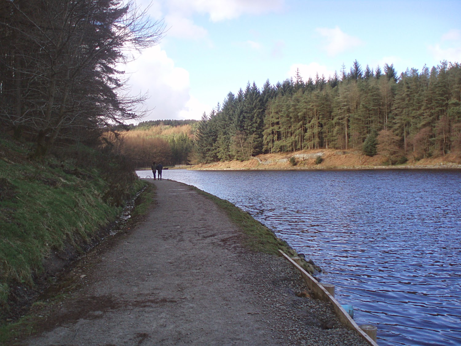
| Entwhistle Reservoir, after the food stop, just past half way. Looking backwards along the route |
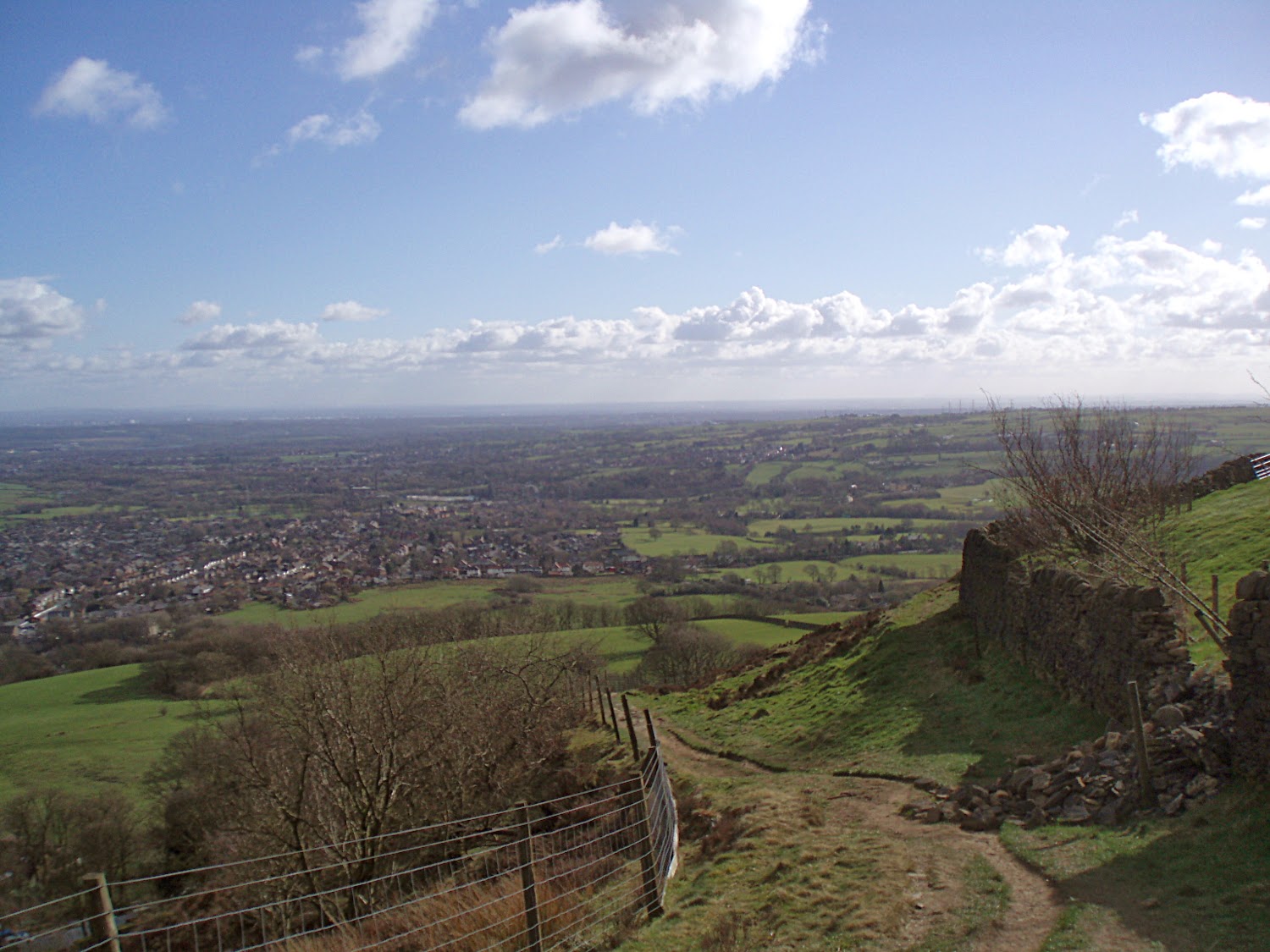
 |
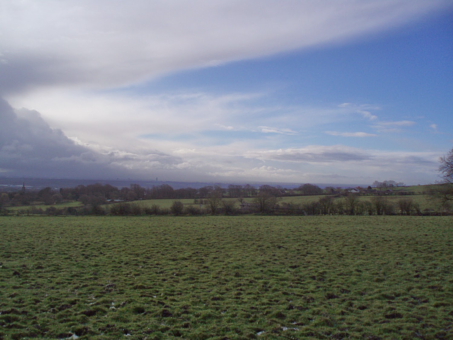
| This is looking towards Tottington. In the middle and slightly to the left. Peel Tower is to my back, and the path |
 |
| Further on down the hill. Just over this flat bit is the descent to the bottom of Reddisher Woods |
 |
| Right at the start, about half a mile in. |
 |
| The route doglegs around a field |
 |
| Lots of Mud! |
 |
| Up towards Affetside. A turn to right at the top. |
 | ||
| Just after the PackHorse a turn left and a descent to the Jumbles, The sign says: THIS RESTING PLACE WAS BUILT BY THE RESIDENTS AND FRIENDS OF AFFETSIDE IN MEMORY OF MATT COBB 10-6-71 - 12-8-03 ALTHOUGH HIS TIME IN THE VILLAGE WAS SHORT HIS WARM SMILE AND GENEROUS HEART BROUGHT JOY TO ALL WHO KNEW HIM LOVED AND REMEMBERED HERE EVERY DAY |
 |
| Heading towards the first checkpoint at the entrance to Turton Tower |
 |
| This would make a great check point! |
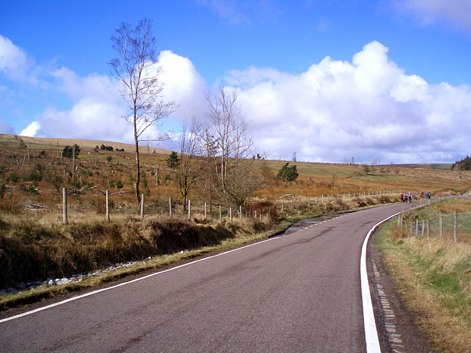 |
| The route takes us down the road to the stile and then up to the skyline There was a large plantation on the left when I first did the walk. Now the new trees are starting to grow! |
 |
| These next 4 pics takes us to Entwhistle Reservoir over a quite steep incline and through a clip point. Its quite long and moderately muddy. The weather here has been very difficult on the top. Today it was really good although probabl;y the coldest part of the walk. |
 |
| The route took us round this side of the reservoir. Previously it went through the tree on the left to the checkpoint on the carpark. |
 |
| Looking back! |
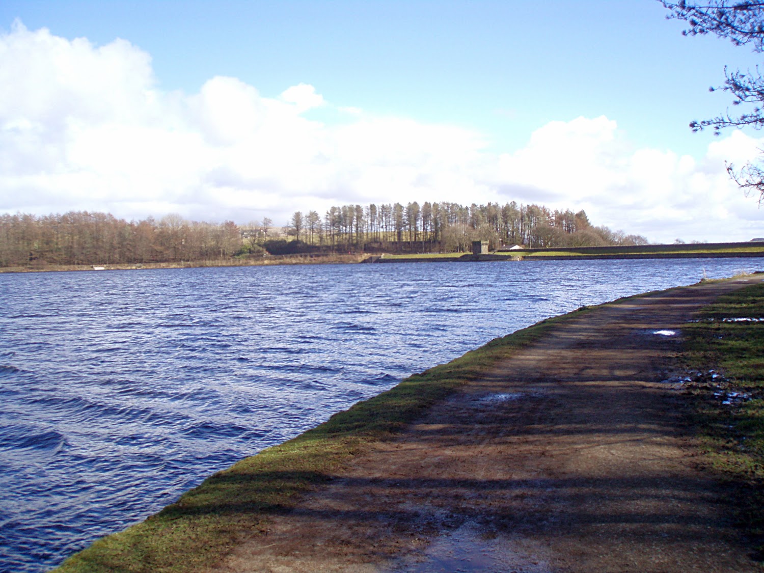 |
| The edge of the dam. We walked along there. There is a pano at the top. |
 |
| Sensational food! |
 |
| Kiwi Fruit, Grapes, Apples - Seriously, Never been at a checkpoint like this |
 |
| Amazing range of sandwiches too! Am I in the wrong place? More like a wedding reception, running buffet.... |
 |
| People didn't want to leave... perhaps they are still there. |
 |
| Entwhistle Reservoir from the food |
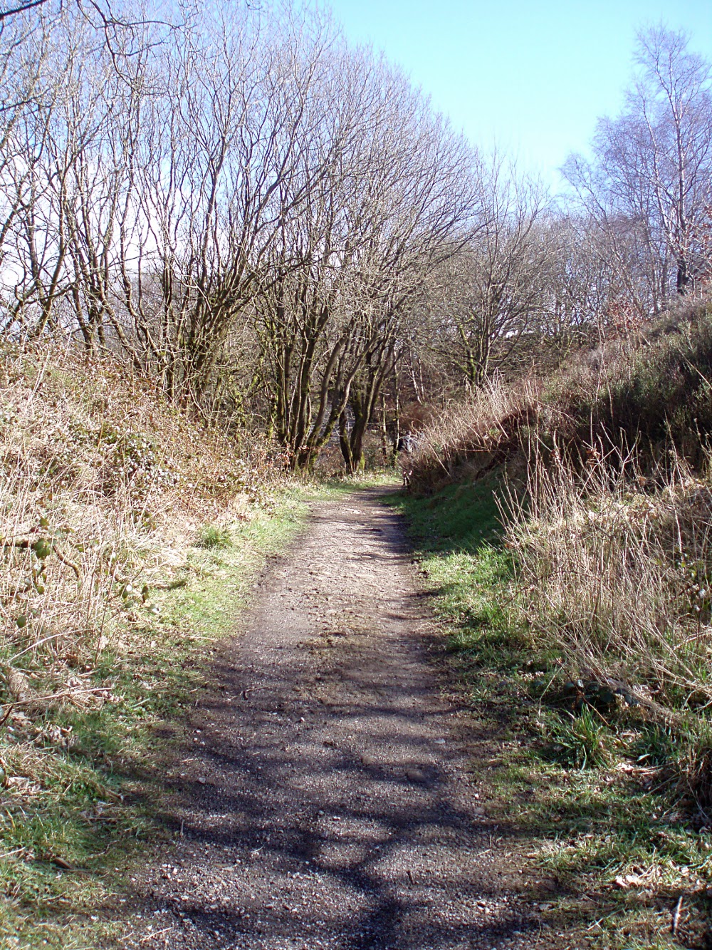 |
| The path away from the food |
 |
| From the dam at the reservoir |
 |
| Crest on the Reservoir wall |
 |
| Strawbury Duck - there were a lot of people here. Entwhistle station is just to the right |
 |
| Away from the 'Duck, just above a little wicked incline |
 |
| Entrance to the next checkpoint |
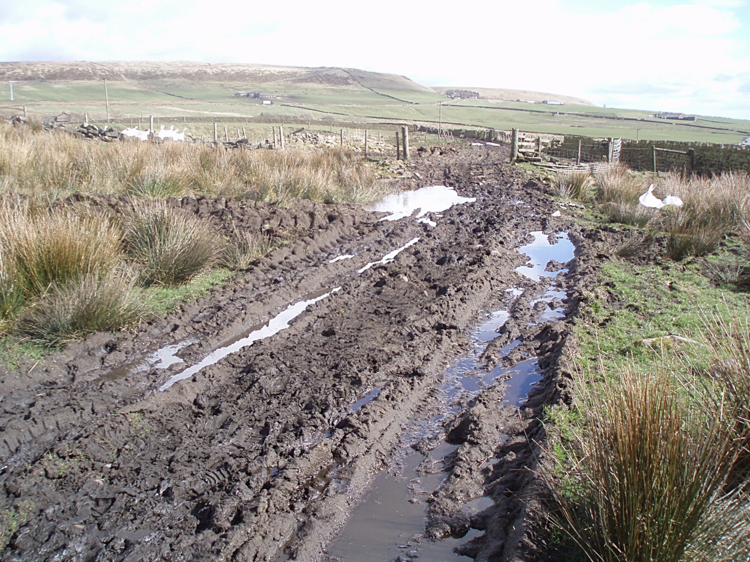 |
| Serious mud! |
 |
| Looking back... The style is halfway along the wall. |
 |
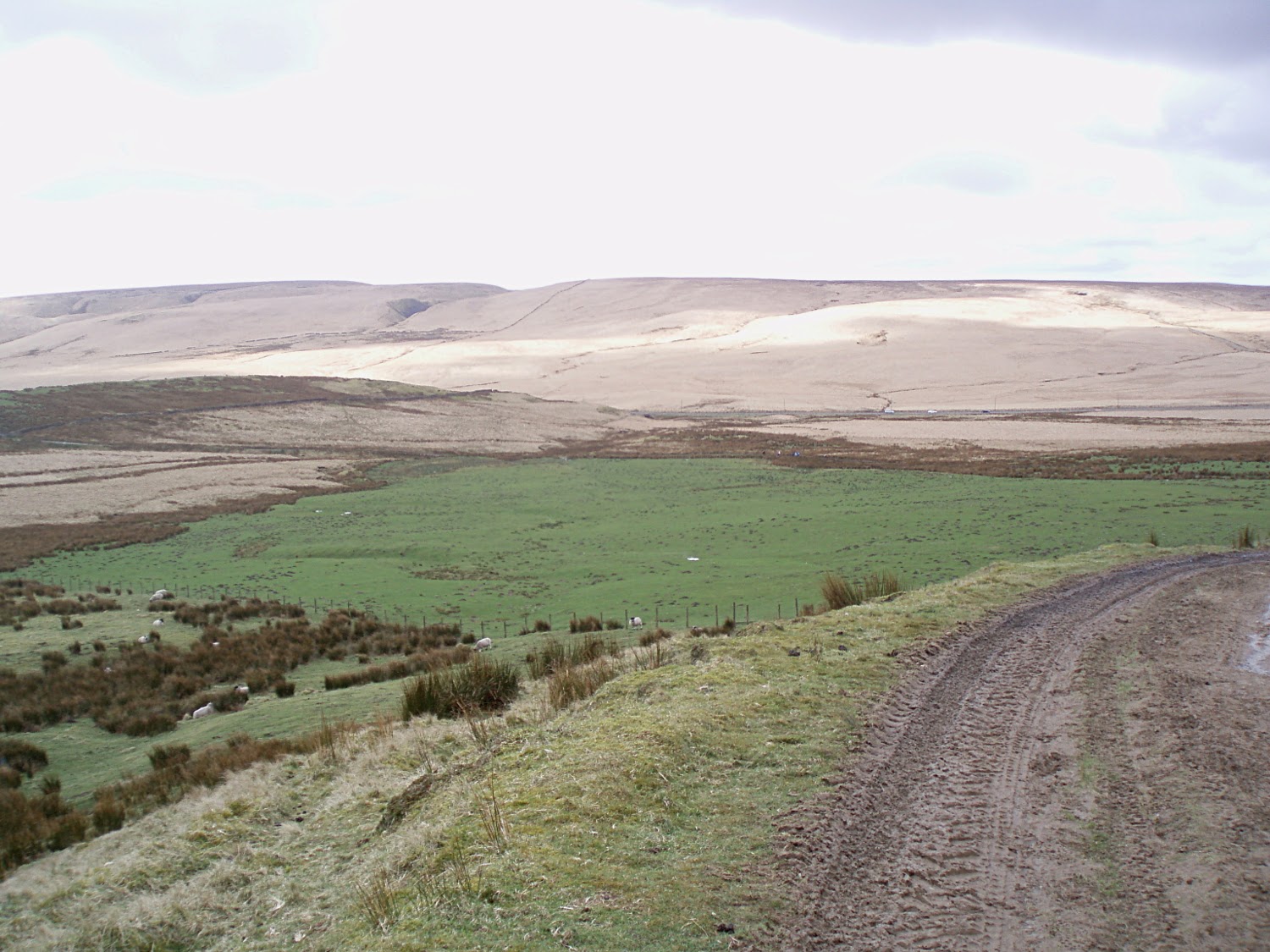
| Bull Hill is the Lump on the right. The path skirts around the left corner. This was about 6 to 8 inches deep the whole way to the corner. |
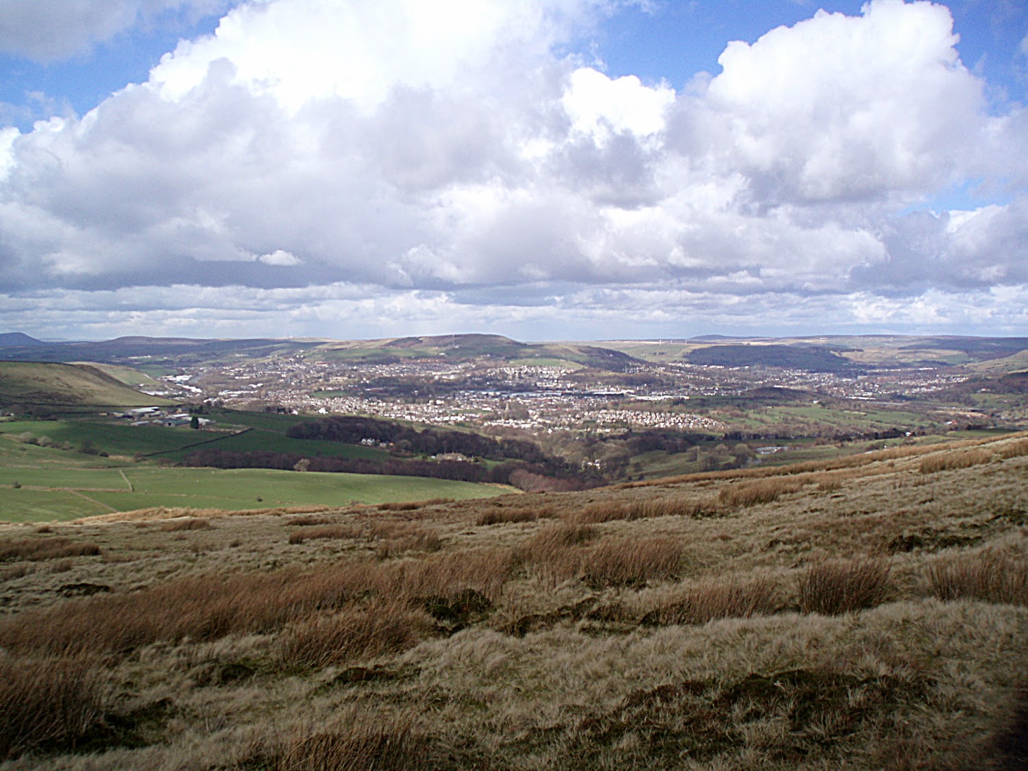 |
| Just about the corner of the hill. Looking down into Helmshore. |
 |
| Windy path down to the checkpoint. |
 |
| Pilgrims Cross. Straight on to Peel Tower. The red flag means the Army needs target practice. I don't believe that guff about using blanks! |
 |
| Past the cross |
 |
| There were sleet showers moving alongside me in the valley, looked rather nice. |
 |
| Descent from Peel Tower. The Peelers route goes the other way |
 |
| Looking back from the same place |
 |
| The top of Reddisher Woods, steep wet descent |
 |
| Not sure whether the solitary stone is a stoop. The whole of this part of Lancashire is criss-crossed with Pack trails. I just don't see why a trail would be here. |
 |
| On the way to Greenmount Golf club. These two old gateposts still standing. A small piece of the old agricultural landscape |
 |
| A big bird - A checkpoint bird, you can see where this is going, wouldn't want to pluck it though! |
 |
| Heading off the estate, built up vegetable beds. I had a very good friend who lived to the right. He had a great den. |
 |
| My old school! |
 |
| The old railway line from the top of the bridge. Only there is no bridge any-more. |
 |
| Looking back |